History of NASA Langley
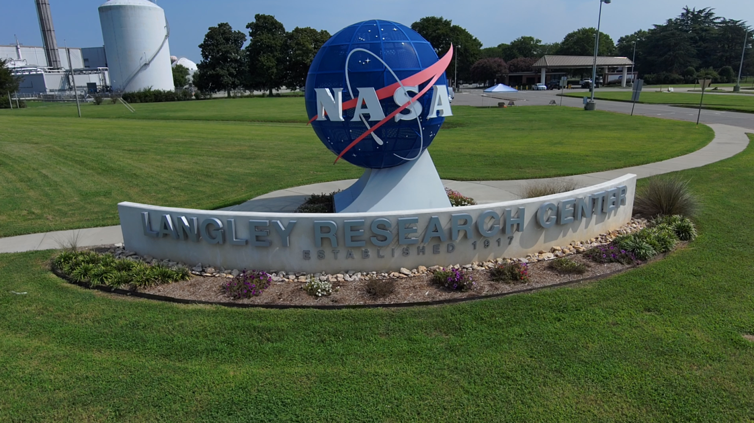
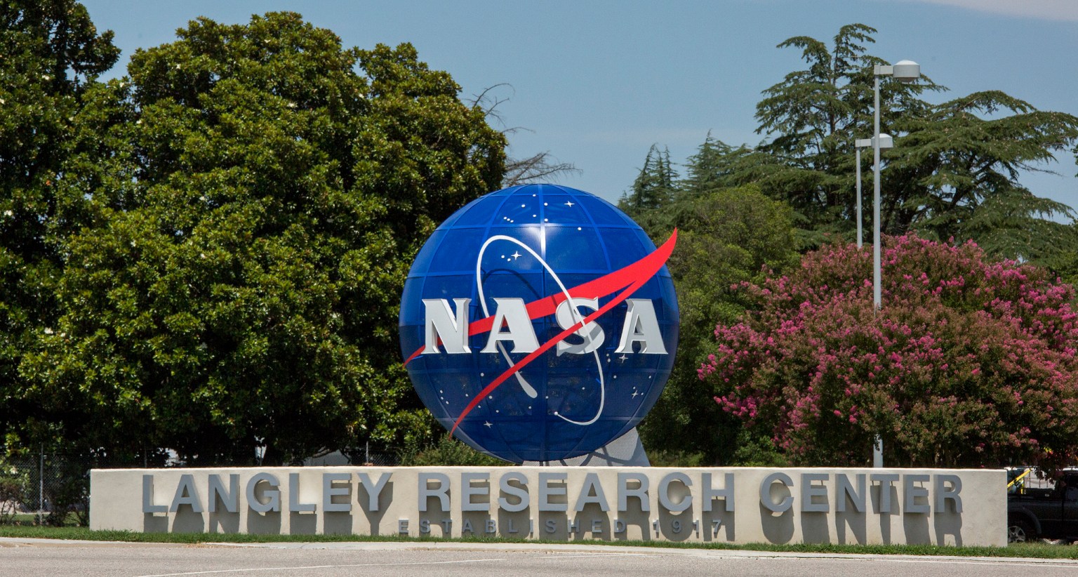
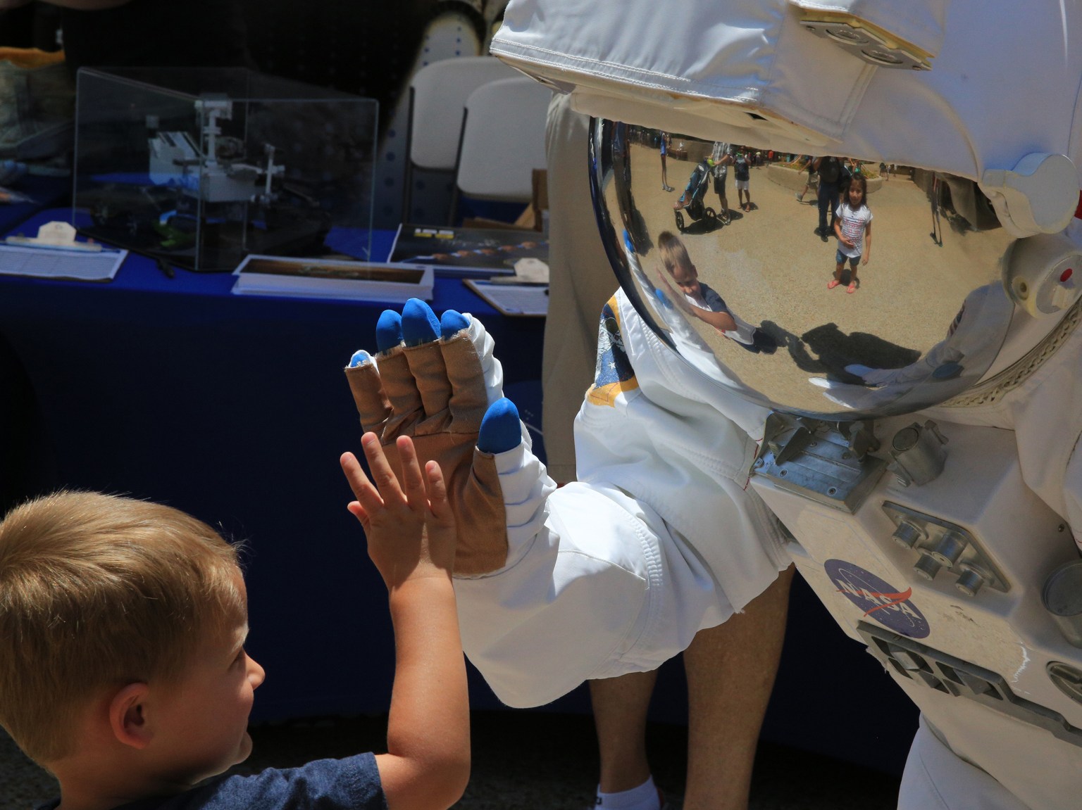
NASA Langley Research Center is a place where past discoveries meet future innovations. Welcome to NASA’s first field center.
OVER A CENTURY OF INNOVATION
years since Langley’s founding
facilities
HISTORIC FACILITIES
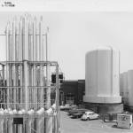
East Compressor Building
Building 582
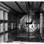
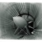
Ice Tunnel and 26-Inch Transonic Blowdown Tunnel
Building 583
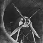
6 x 19-Inch Transonic Tunnel
Building 585
8-Foot Transonic Pressure Tunnel
Building 640
8-Foot High-Speed Tunnel
Building 641
30 x 60-Foot Full Scale Tunnel
Building 643
Stability Tunnel
Building 1149
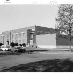
Information Media Center
Building 1152
Historic Facilities
Get to Know Past Facilities at Langley
For over a century, NASA Langley Research Center has been home to groundbreaking facilities where history was made. As new facilities are built on center to help usher in the next century of innovation, over the years, these historic facilities have been demolished. Learn about some of these past Langley facilities and the scientific achievements they lead to.
Read More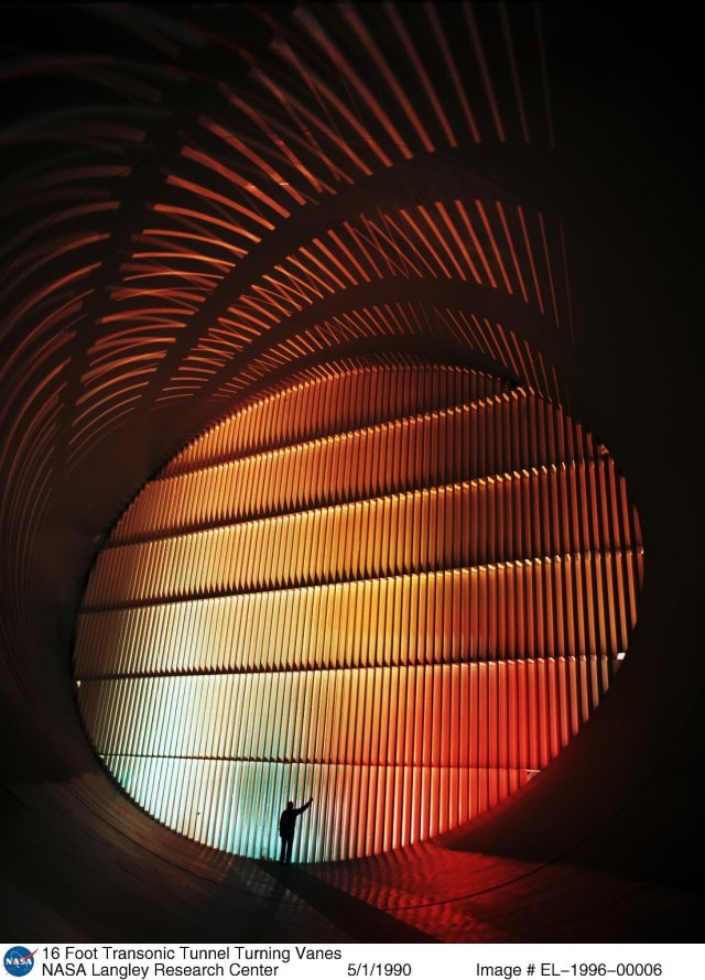
The Hall of Honor
Celebrating the Achievements of NASA Personnel
The Hall of Honor was established by members of the Langley Alumni Association and NASA Langley as a way to pay tribute to individuals who built exemplary careers at Langley, persevered against the status quo when required, and achieved revolutionary scientific understanding and technological progress on the frontiers of the aerospace sciences.
Read More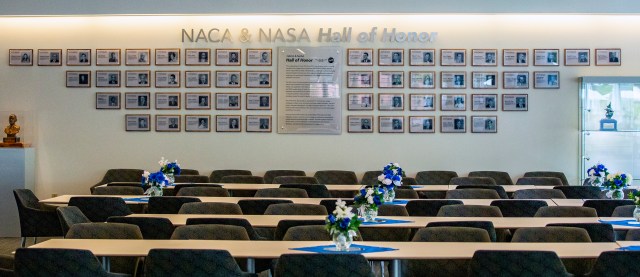
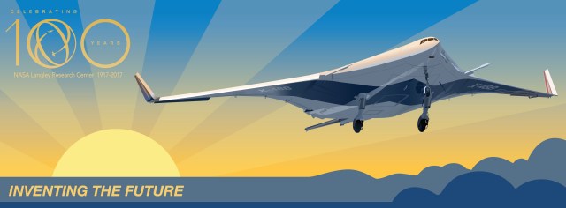
Celebrating Our Centennial
A Storied Legacy, A Soaring Future
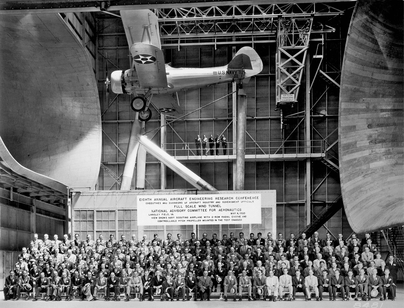
The NASA you know today was established in 1958. But its historical roots reach back to 1915–just 12 years after the Wright Brothers’ flight and two years before America’s entry into World War I–when the U.S. Congress created the National Advisory Committee for Aeronautics, or NACA.
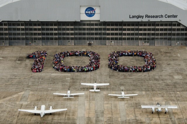
In 2017, NASA Langley Research Center celebrated 100 years of excellence in aerospace achievements, scientific discoveries and technological breakthroughs. Learn more about our rich history and what to look forward to in our second century.
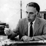
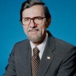
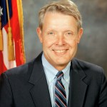
Langley Research Center Directors
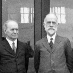
Leigh M. Griffith
Engineer in Charge, Nov. 1922–Dec. 1925
Henry J.E. Reid
Jan. 1926–May 1960
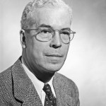
Floyd L. Thompson
May 1660–May 1968
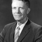
Edgar M. Cortright
May 1968–Sept. 1975
Donald P. Hearth
Sept. 1975–Nov. 1984
Richard H. Petersen
Dec. 1984–Dec. 1991
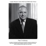
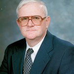
Paul F. Holloway
Oct. 1991–Aug. 1996
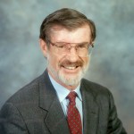
Jeremiah F. Creedon
Aug. 1996–June 2002
Delma C. Freeman, Jr.
June 2002–June 2003 (Acting)
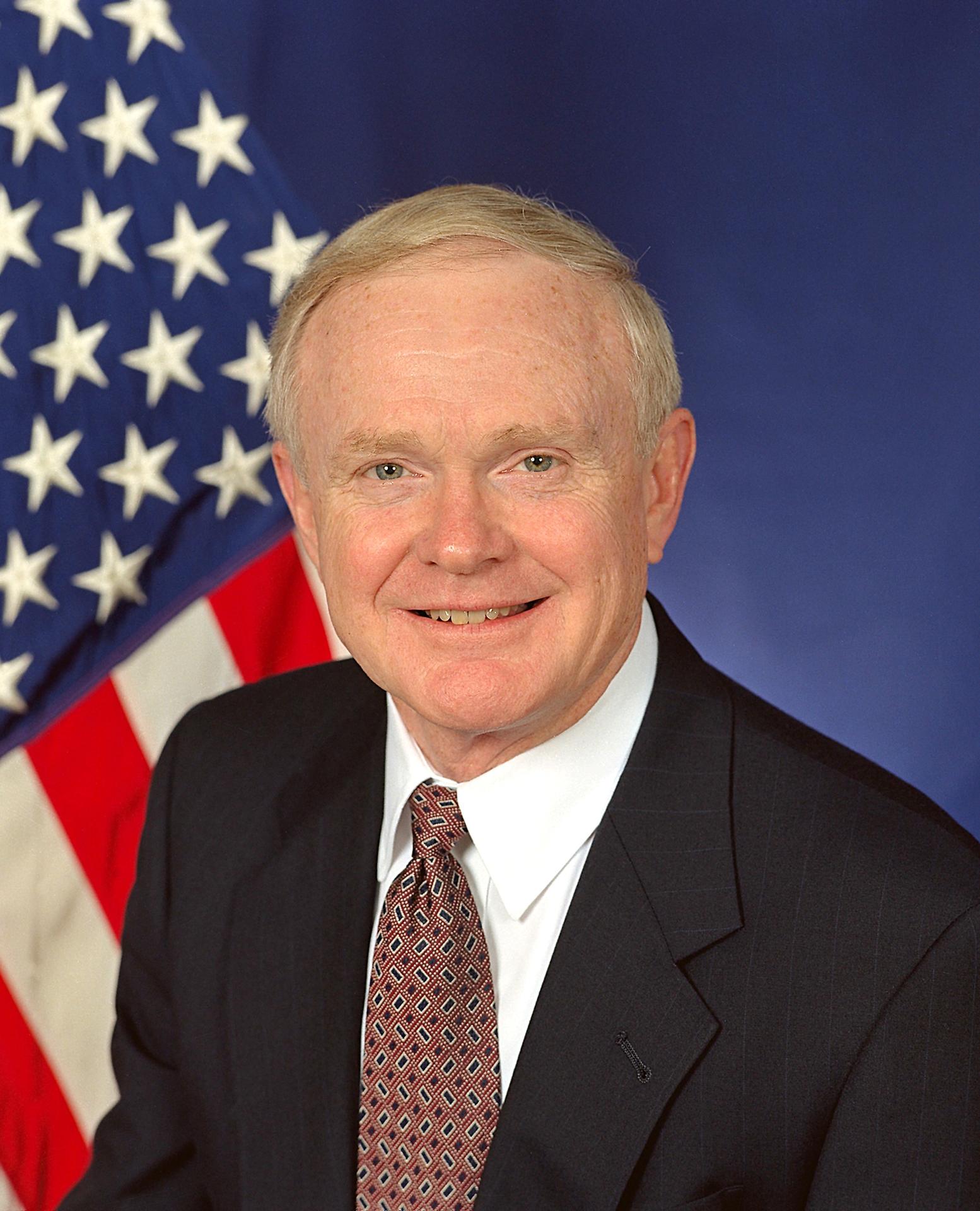
Roy D. Bridges, Jr.
June 2003–Oct. 2005

Lesa B. Roe
Oct. 2005–Apr. 2014

Stephen G. Jurczyk
Apr. 2014–Mar. 2015
David E. Bowles
Mar. 2014–Sept. 2019

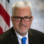
Clayton P. Turner
Sept. 2019–present
Langley's Centennial: A Storied Legacy, A Soaring Future
NASA Langley 100: A Storied Legacy, A Soaring Future
NASA Langley 100: Innovation at 100
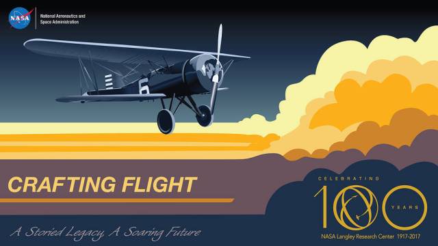
NASA Langley 100: 100 Years of Crafting Flight
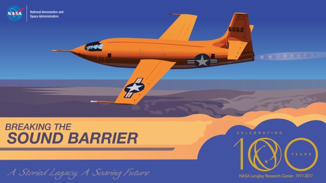
NASA Langley 100: Breaking the Sound Barrier
NASA Langley 100: Making Space
NASA Langley 100: Knowing Earth

NASA Langley 100: Working with Warbirds

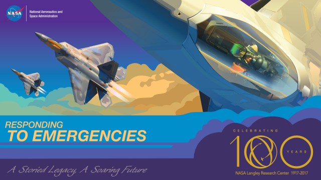
NASA Langley 100: Responding to Emergencies
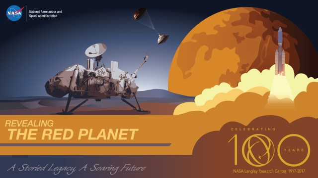
NASA Langley 100: Sojourning to Mars
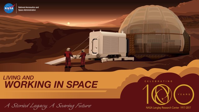
NASA Langley 100: Into the Harshest Frontier
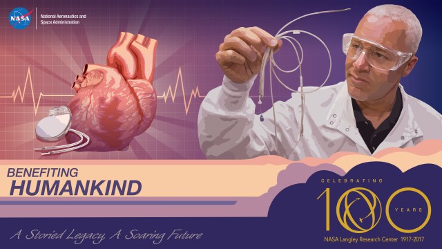
NASA Langley 100: From Innovation to Benefit
Inventing the Future
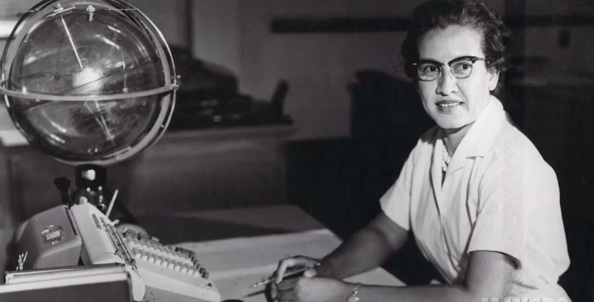
Katherine Johnson: A NASA Trailblazer
One of NASA's famous "human computers," Katherine G. Johnson stands among NASA’s most inspirational figures.
Learn More about Katherine Johnson: A NASA Trailblazer